Sector B · ConstructionTrack · Manage · Measure
PAGE 0%
Sector B · Construction

Drones and scanners make
clear jobsite records.

Get a clear view of jobsite conditions — without waiting on scattered site reports.

Trusted by
CLARKCLARKCLARKCLARK
01
Progress capture · weekly
01Track

Track
progress.

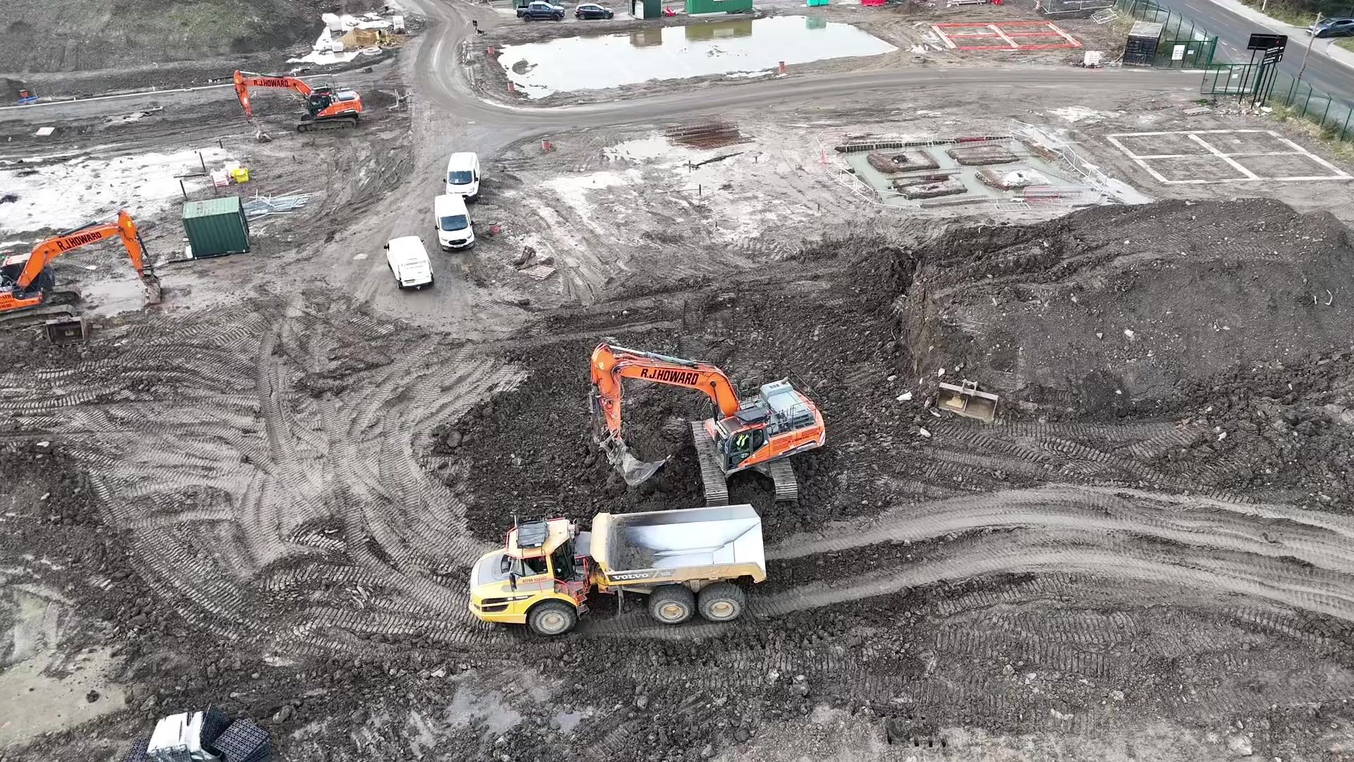
+Capture the jobsite regularly to keep progress clearly documented over time
+Compare what is built against plan without relying on field reports
+Review current site conditions remotely without additional site visits
+See where work is ahead, behind, or not progressing as expected
02
02Manage

Manage work
on the map.

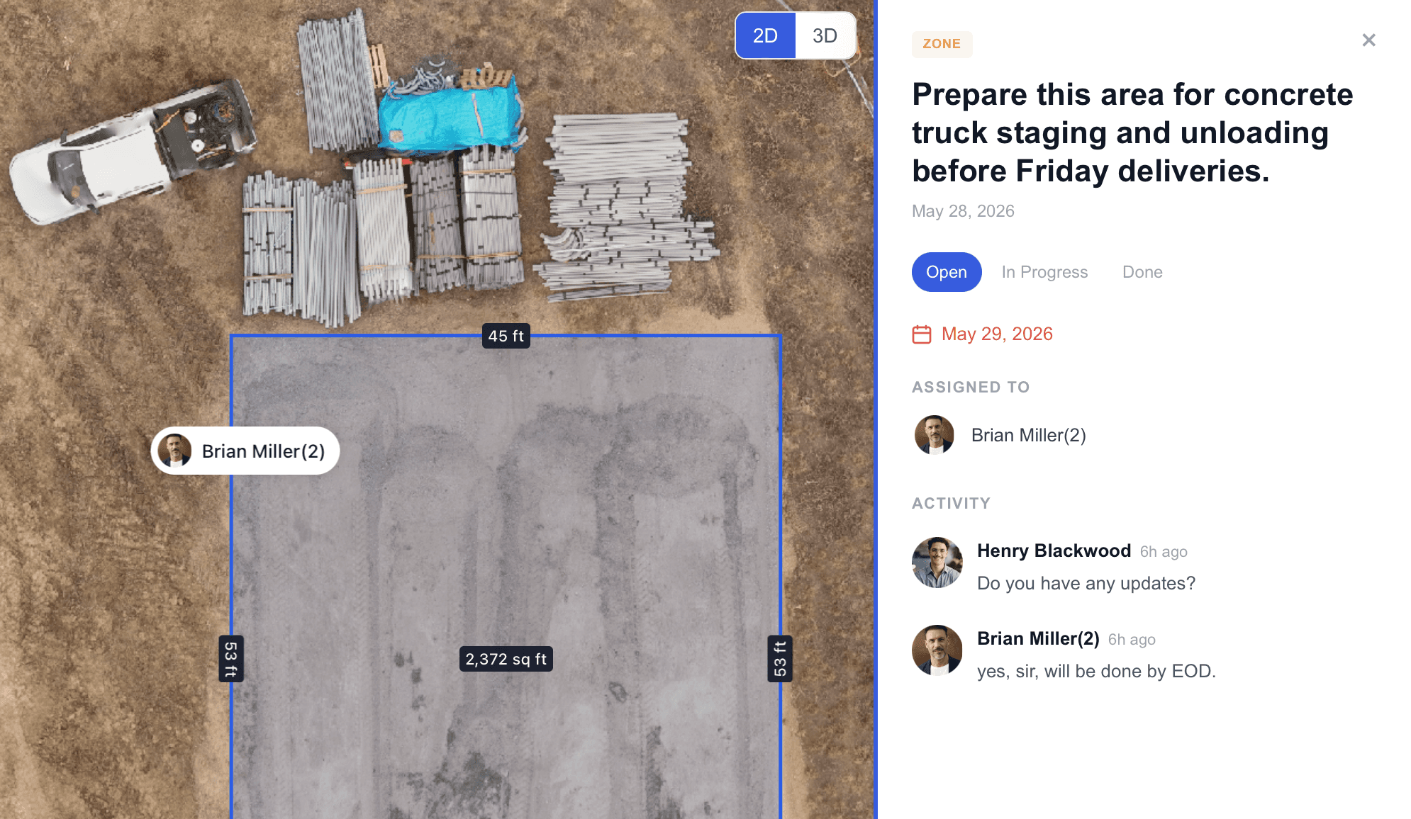
+Assign tasks directly on the project map with clear location context
+Mark work zones, assign responsibility, and track status in the same map view
+Discuss updates with field teams inside the same visual site record
+Keep managers, crews, and stakeholders aligned around one source of truth
Project map with tasks and work zones
Project map · tasks + zones
03
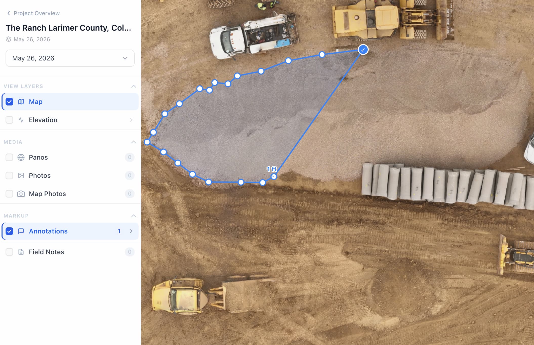
Measuring areas and volumes on captured jobsite
Takeoff · areas + volumes
03Measure

Measure
the site.

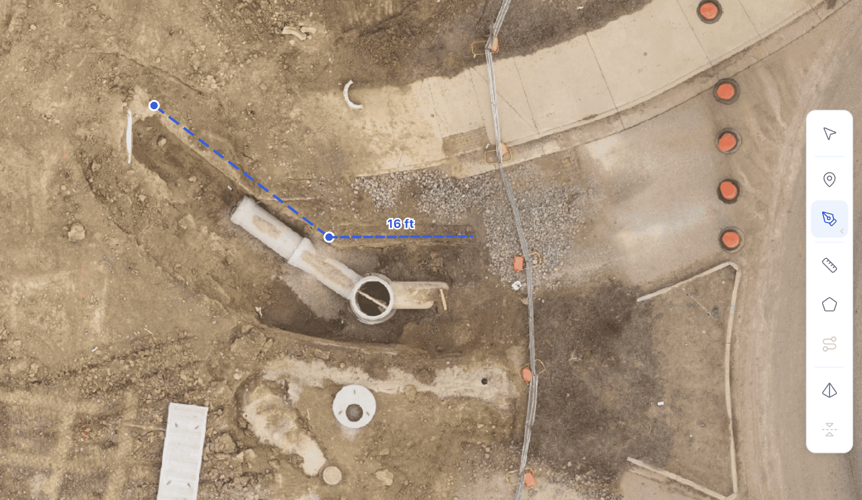
+Measure areas, distances, and volumes directly from the captured jobsite
+Support quantity takeoffs for grading, roofing, paving, and other scopes
+Check reported quantities against actual site conditions on site
+Use accurate site data to support cost, scope, and schedule decisions
04
04How teams use the data

Work with your
site data in one place.

Four ways teams work the record once it lands in the browser.

Ground Scan (360° Tour)Elevation & GradingGround Control Points (GCPs)Distance Measurements
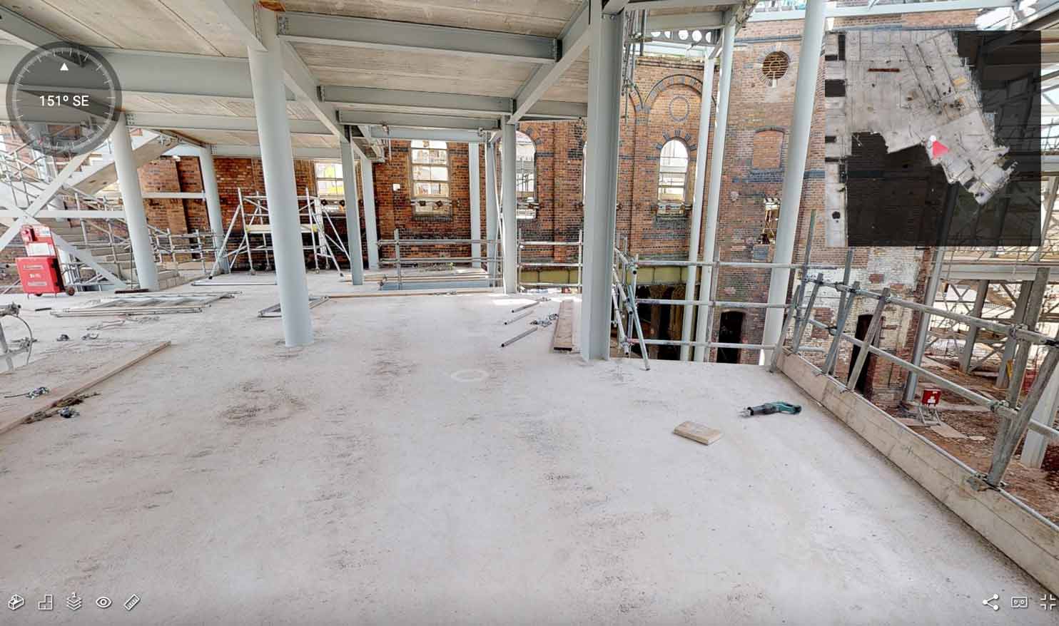
01 · Ground Scan (360° Tour)

Capture interiors and critical site areas with 360° scans. Review installation details, verify work completed, and track conditions across rooms, equipment, and structures.

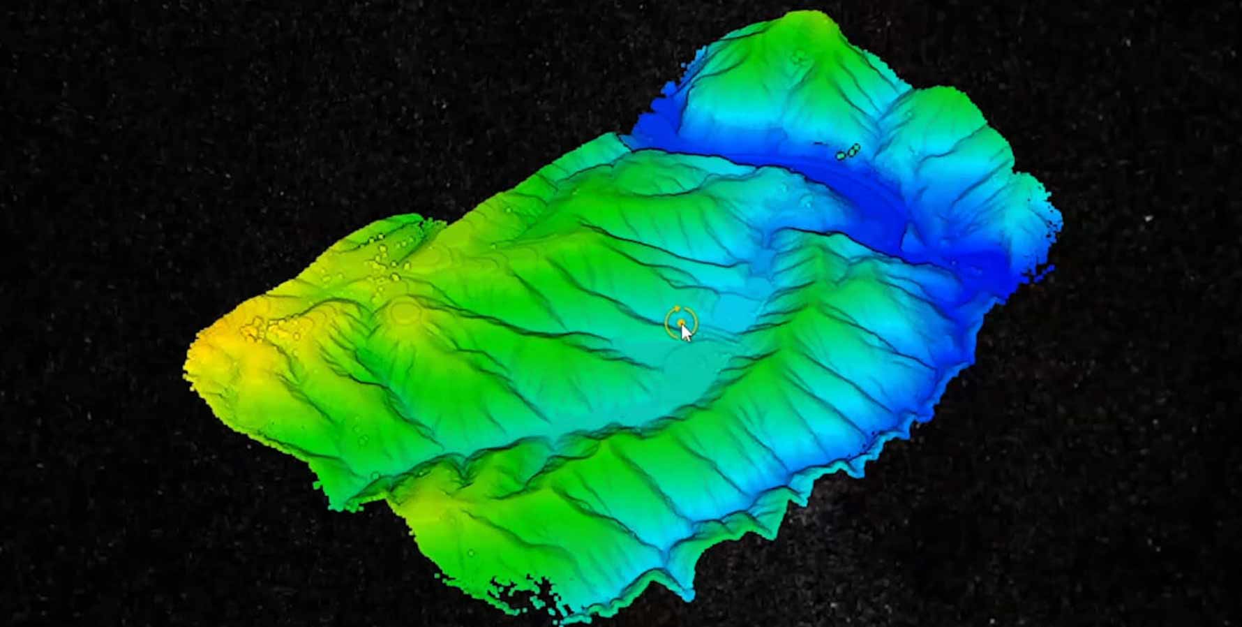
Capture existing elevations along the site and align them with project plans. Build a clear grading model to verify slopes, drainage, and earthwork against design.

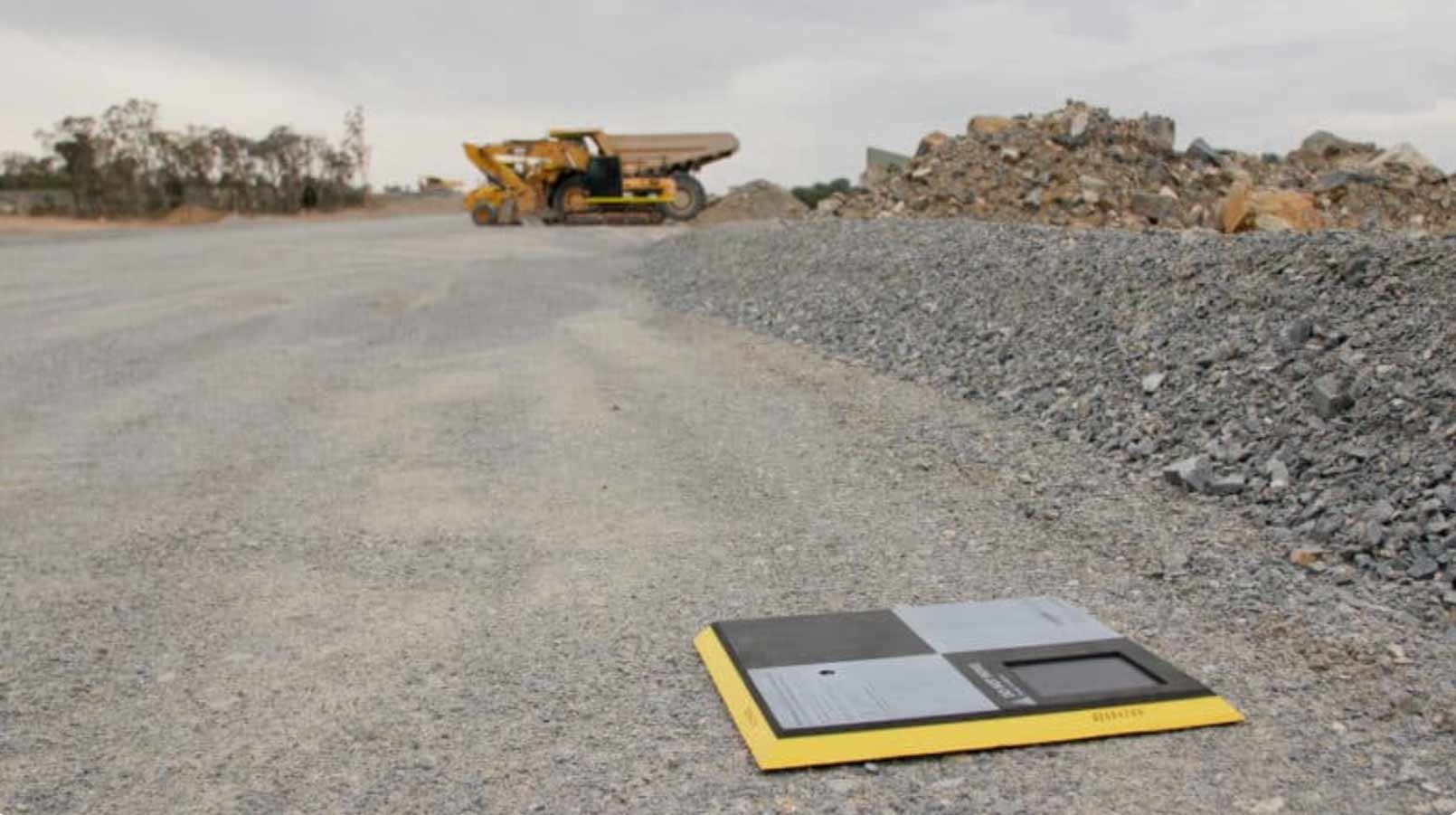
Place GCPs across the site and capture them in flight to anchor the model. Lock position to fixed points, reduce drift, and keep every capture aligned to the same layout.

Measure directly on aerial capture. Get linear, 3D, and slope measurements to check spacing, placement, and layout on site.

05

Frequently asked questions

Simple answers to what most teams ask before joining Asteon.

You receive aerial capture, ground scans, a high-accuracy 3D model, and organized site visuals — structured into a clear jobsite record your team can review, share, and use to verify progress and site conditions with confidence.

Yes. Site data can be collected within 24 hours, and the finished deliverables can be provided within 24 hours after capture, depending on scope and site conditions.

No. It is useful for owners, developers, general contractors, project managers, superintendents, subcontractors, and stakeholders who need a clear view of site progress without relying on scattered updates or repeat visits.

You do not need to be on site or rely on someone else’s interpretation. You get a clear visual record of the jobsite that allows you to review progress in a few clicks and examine details across the entire site.

Yes. We operate with FAA-certified drone pilots, maintain the required insurance coverage for commercial site capture work, and follow OSHA safety requirements on active jobsites.

No. The deliverables are provided in a clear, organized format that is easy to review and share without requiring your team to learn a complicated system.

Yes. We can support multi-site construction programs and apply a consistent workflow across locations, making review and comparison easier across a portfolio of projects.

Yes. Work is planned around live jobsite conditions so capture can be completed safely and without disrupting ongoing construction activity.

Your jobsite is
next on the plan.

Tell us where the jobsite is. We plan the capture, fly it, and put the record in your browser.

ASTEON