



Construction · Progress monitoring

Construction progress,
measured every week.

Drone progress monitoring that reads your jobsite like a schedule — as-built against plan, volumes over time, one dated record your whole team opens in the browser.

As-built drone capture of the jobsite
Design · planAs-built · W16
Δ 0.14 m · drag to compare
Baseline W00Now W16Next W172d behind
Trusted on active sites
Build timeline
W00Phase 01 · Baseline

Set control, capture day one

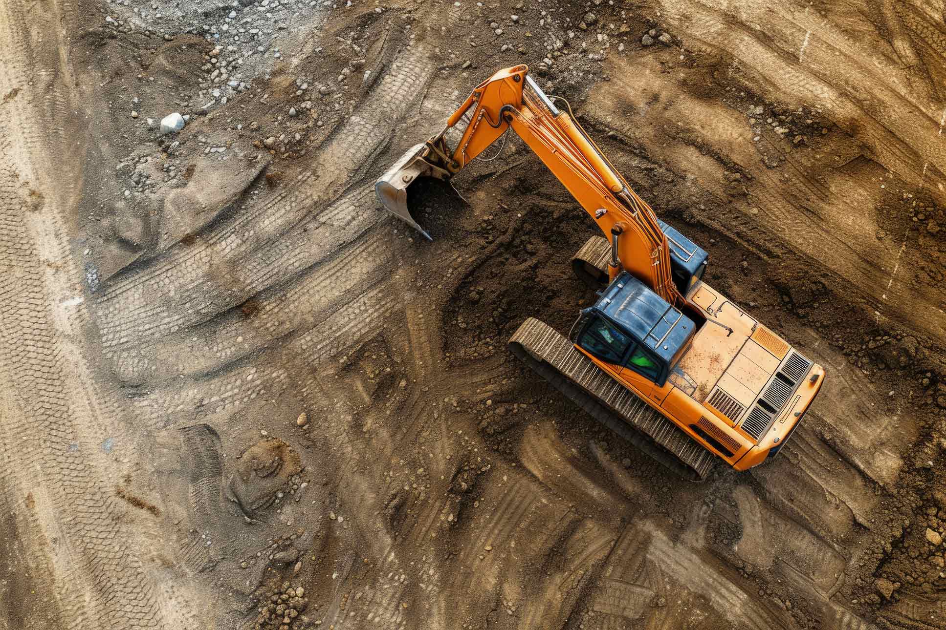
Before the first pour we lock survey control and fly a groundbreaking baseline — the fixed reference every later capture is measured against.

ControlGCP + RTK
Resolution1.5 cm/px
OutputOrtho · point cloud
Set control, capture day one
Baseline · W00
W01+Phase 02 · Cadence

Fly the same lines every week

Licensed pilots repeat the exact mission on a weekly, monthly, or milestone cadence. Same flight lines, same control — so week-over-week captures line up cleanly.

CadenceWeekly · Milestone
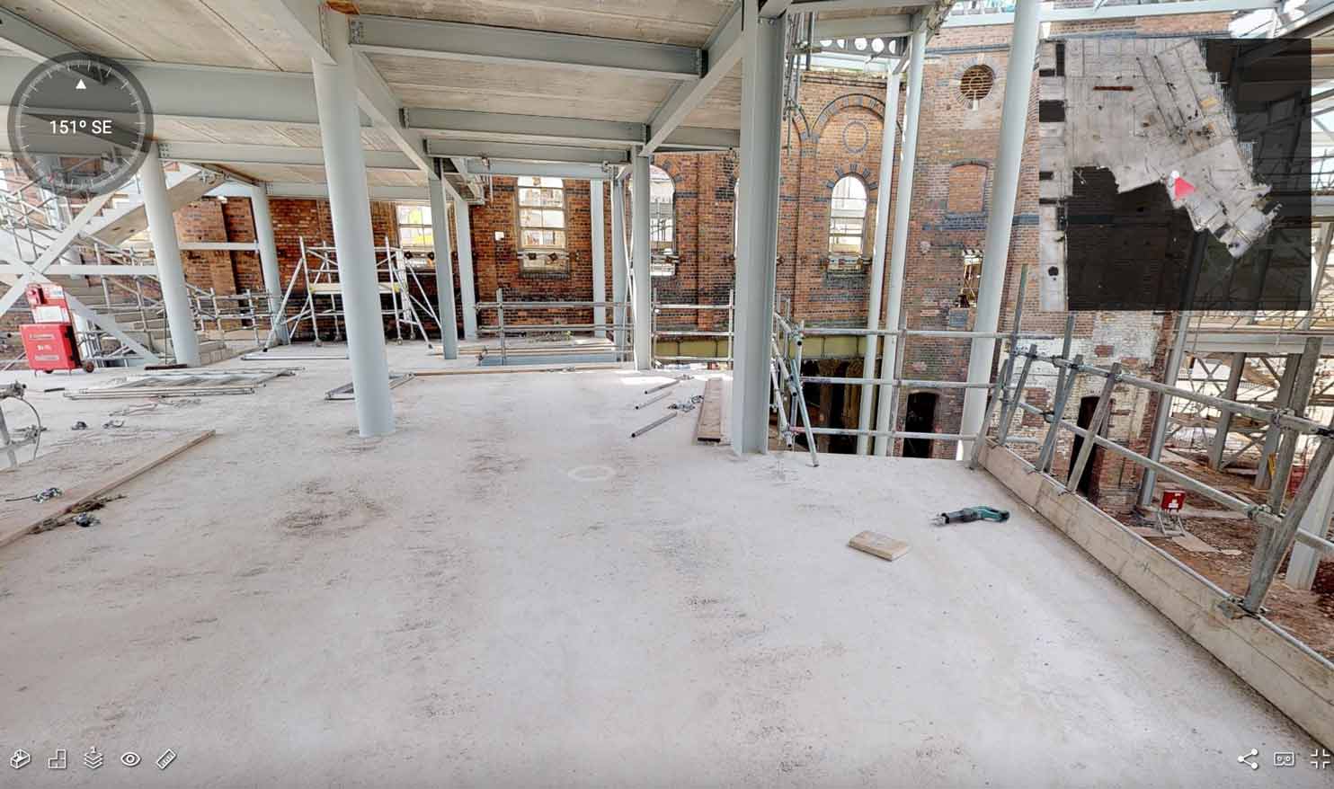
SensorsRGB · LiDAR · 360°
Mobilize48h
Fly the same lines every week
Cadence · weekly mission
W08Phase 03 · Variance

As-built vs plan, flagged

Each capture overlays your design or BIM model and the schedule. You see percent-complete against plan and where the site is running ahead or behind — before it costs you.

OverlayCAD · BIM
TracksPlanned vs actual
FlagsSchedule delta
% complete · planned vs actualPlannedActualBehind
0255075100W0W4W8W12W16W20
W12Phase 04 · Quantities

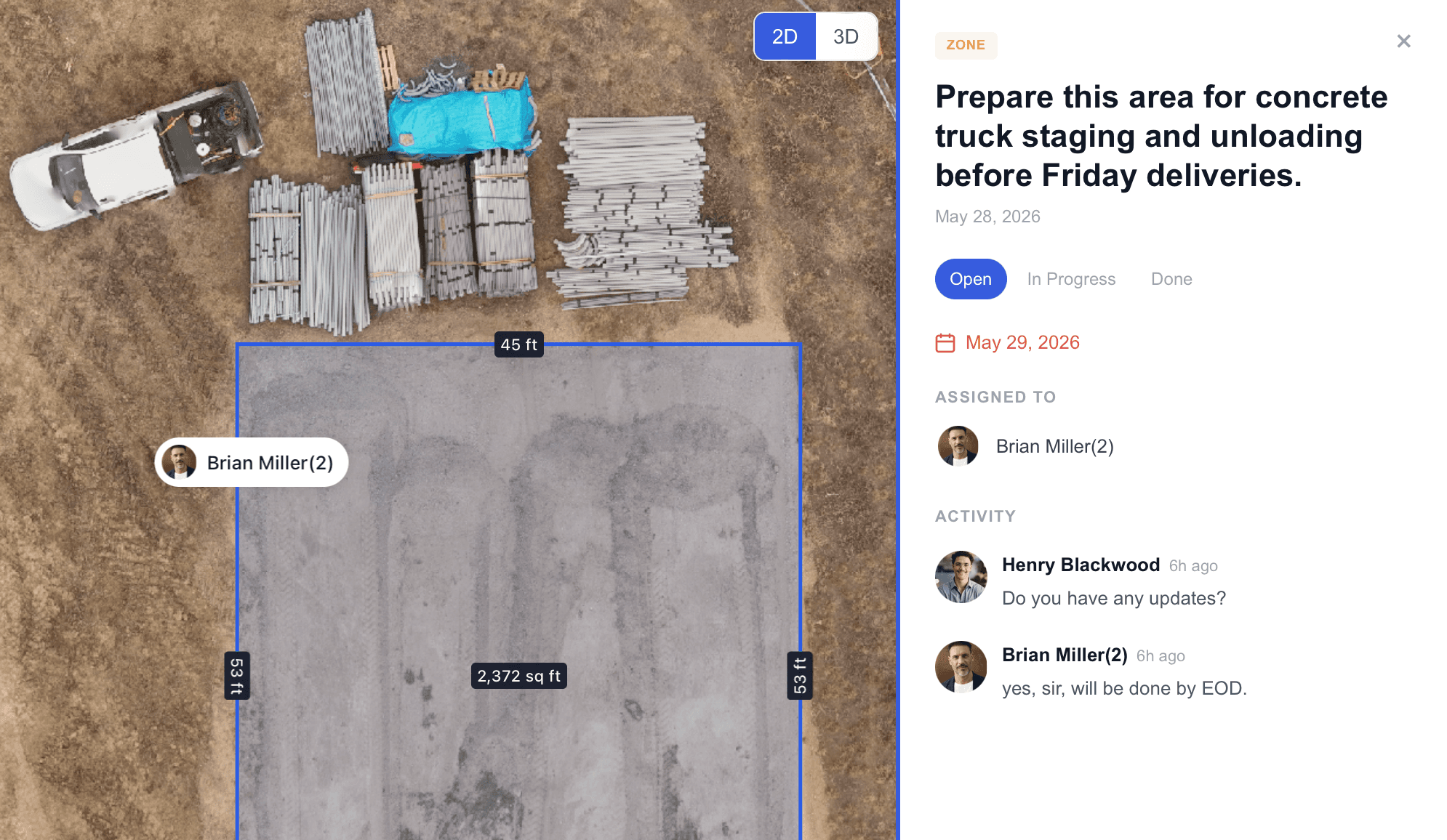
Earthwork, tracked over time

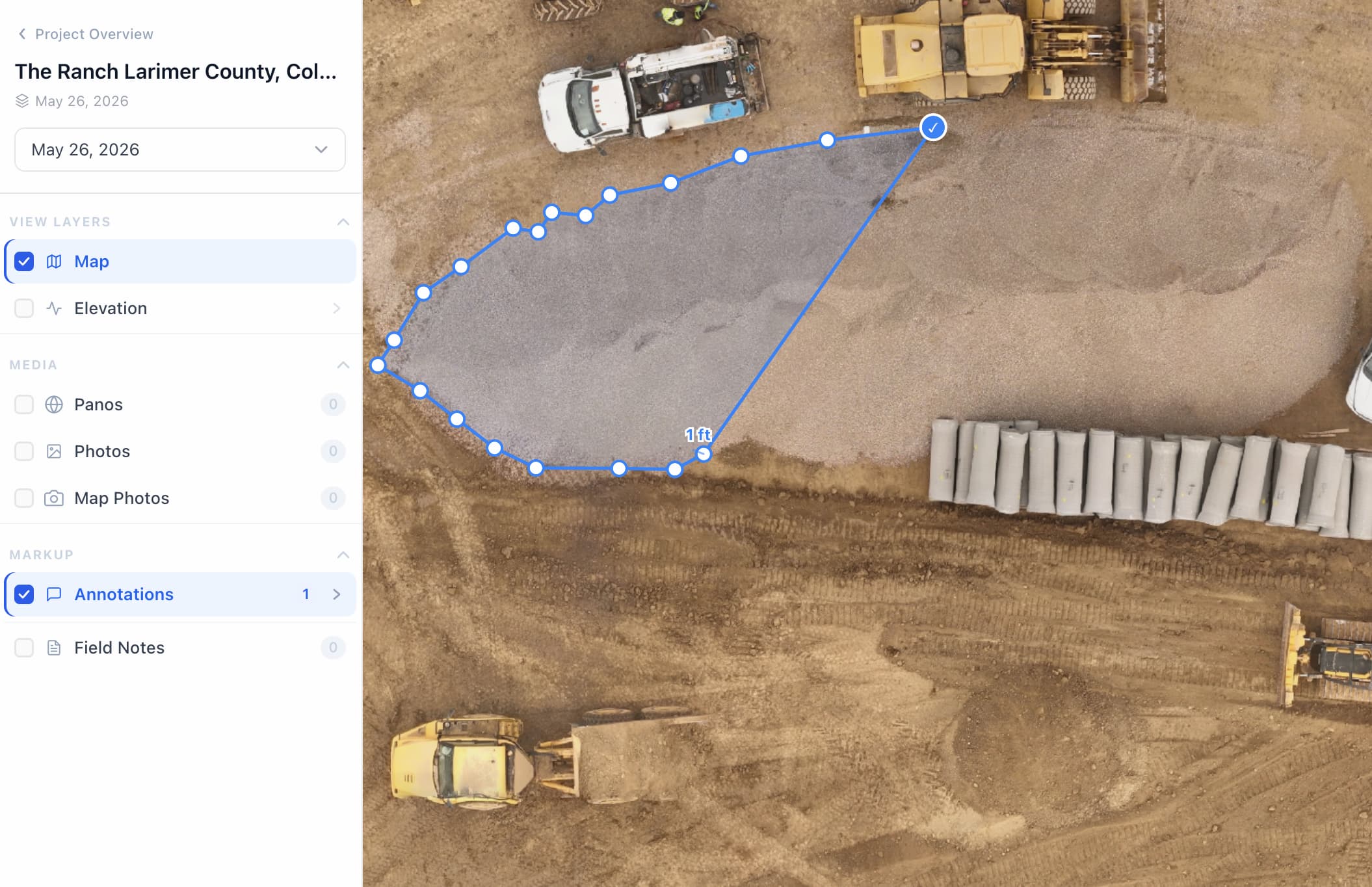
Measure cut/fill, stockpiles, and takeoffs straight from each capture and watch the quantities move week to week — defensible numbers for pay applications and disputes.

VolumesCut · Fill · Stockpile
TakeoffGrade · Pave · Roof
BasisSurvey-grade
Cut volume · cu-yd / week17,100 total
W04
W08
W12
W16
W20
W20Phase 05 · Handoff

A closeout record that holds up

At topping-out and closeout you keep the full dated series — every week of the build in one live model owners, GCs, and subs can open in the browser, no installs.

AccessBrowser · shared
RetentionFull series
ShareOwner · GC · Sub
A closeout record that holds up
Handoff · closeout record
Field questions

Progress monitoring, explained

Construction progress monitoring is the routine capture and measurement of a jobsite to track work against schedule and design. Asteon flies each site with RTK drones and laser scanners, then delivers survey-grade orthomosaics, point clouds, volumes, and as-built vs design overlays to a shared browser workspace.

Most projects run weekly, with monthly or milestone-based flights available. You pick the cadence that matches lender reporting, pay applications, and coordination needs across the life of the project.

Capture is tied to survey control with RTK drones and ground control points at up to 1.5 cm/px — accurate enough for progress tracking, earthwork volumes, and as-built comparison.

Yes. Each capture overlays your design or BIM model so deviations show early, earthwork is quantified, and built work is tracked against plan week over week.

Orthomosaics, point clouds, 3D mesh, DSM/DTM, cut/fill and stockpile volumetrics, 360° ground scans, and CAD or BIM design overlays — all viewable and measurable in the browser.

Data can be collected within 24 hours and finished deliverables provided within 24 hours after capture, depending on scope. Licensed pilots typically mobilize within 48 hours.

No. Every capture lands in your Asteon workspace the same day — owners, GCs, and subs all work from one live model in the browser, no exports or installs.

Yes. We support multi-site programs with a consistent workflow across locations, making progress review and comparison easier across a whole portfolio.

Next capture · W17 · scheduling now

Put your jobsite
on the timeline.

Tell us where the site is. We set control, fly it weekly, and put every capture in your browser.

© 2026 · RTK drone mapping · California