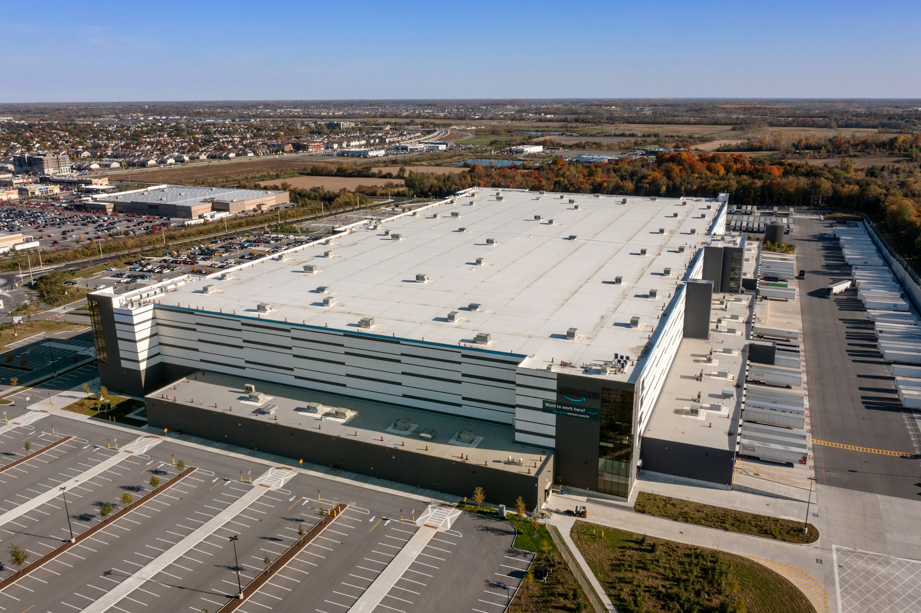
01 / Detect
Detect thermal anomalies.
Drone thermal imaging detects surface temperature patterns that standard aerial photography can miss.
- Survey roofs, solar arrays and accessible equipment with thermal and visual imagery in the same mission.
- Plan capture around weather, sunlight and operating load so useful contrast is visible.
- Reduce time spent accessing hard-to-reach assets and focus follow-up where it matters.
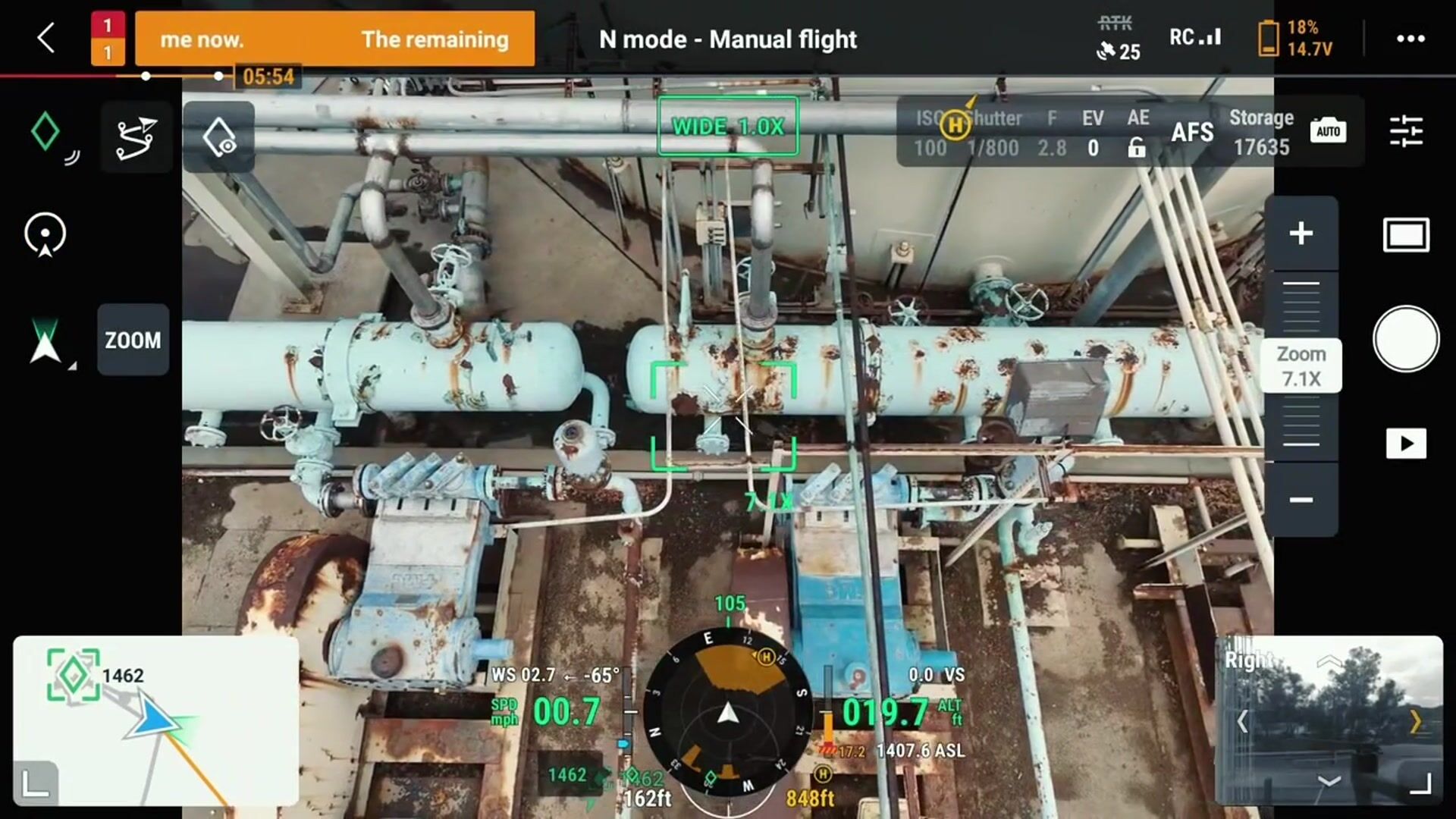
Aerial inspection · asset-level detail01 / 03